
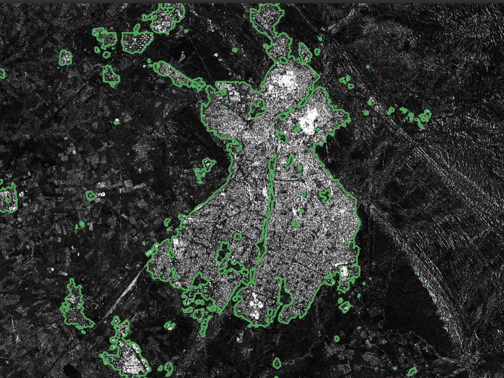
Model output
Mapping the built environment.
Green contours show predicted building areas in radar imagery over Kirkouk, Iraq. These are Team Zephyros results published in ESA Φ-lab’s challenge report.
The challenge
Humanitarian planning needs reliable information about the built environment. The AI4EO challenge with UNOSAT addressed building-footprint mapping in Iraq, in support of reconstruction and census planning.
Our contribution
Alessandro Patruno and Andrey Malakhov participated as Team Zephyros in the AI4EO initiative. Their work explored machine-learning workflows for distinguishing buildings from their surroundings in satellite data.
Technical approach
Building-footprint segmentation using Sentinel-1 radar data in VV/VH polarisations and WorldView optical imagery. The task connects image processing, machine learning and geospatial analysis across large areas.
Why it matters
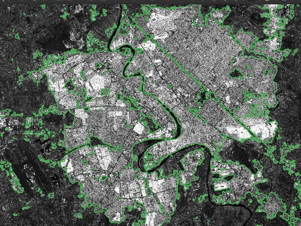
The work demonstrates how scientific computing can turn Earth-observation imagery into information relevant to humanitarian and environmental questions. ESA Φ-lab’s challenge report credits Team Zephyros for example predictions over Kirkouk and Baghdad.
A closer look at the results
Initiative
AI4EO Challenge with UNOSAT / ESA Φ-lab
Period
2020 initiative
People
Alessandro Patruno
Andrey Malakhov
Methods
Semantic segmentation
Sentinel-1 VV/VH
WorldView optical imagery
Geospatial analysis
Reference
Start a conversation
A difficult problem is a good place to start.
Tell us what you’re working on. We welcome technical challenges, research collaborations and new partnerships.